Powering Solar O&M with Computer Vision: A Guide to WThink’s Solar Panel Detection API
Utility-scale photovoltaic (PV) power stations often span hundreds of hectares, containing hundreds of thousands of individual solar modules. For asset owners, EPC contractors, and O&M service providers, maintaining an accurate inventory and identifying missing, shifted, or obstructed panels has traditionally meant days of strenuous manual walk-throughs.
While drones have drastically improved image acquisition, capturing raw aerial photos is only half the battle. The true operational bottleneck lies in processing thousands of high-resolution images rapidly without vendor lock-in.
To bridge this gap, WThink provides a lightweight, production-grade Solar Panel Detection API through its algorithm platform. Designed specifically for developers, system integrators, and enterprise software teams, this API algorithm service turns raw visual telemetry into real-time, actionable structured data.
How AI Vision APIs Work in Solar Inspection (The Fundamentals)
Before diving into deployment, it helps to understand what happens under the hood when an image is sent to an AI vision algorithm service.
Object Detection and Bounding Box Localization
Unlike basic image classification (which simply determines whether an image contains a solar panel or not), Object Detection determines what an object is and where it is located.
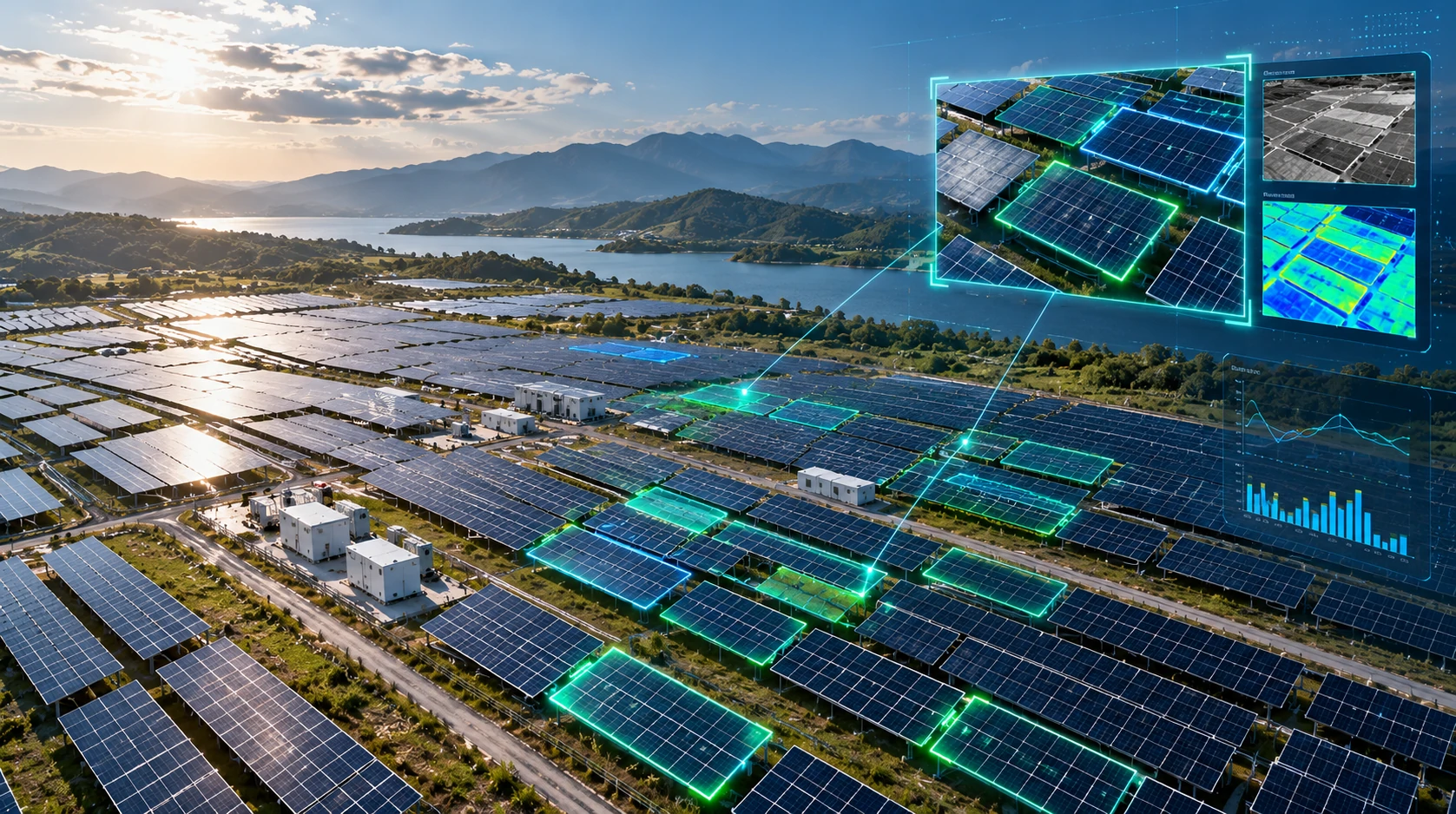
When your drone or camera submits an image to the WThink API, the deep learning model evaluates the image pixels through a convolutional or transformer-based neural network. The algorithm identifies each distinct panel and outputs a set of normalized coordinates known as a Bounding Box ([xmin, ymin, xmax, ymax]), accompanied by a Confidence Score (ranging from 0.00 to 1.00) indicating algorithmic certainty.
[xmin, ymin, xmax, ymax]0.00 – 1.00Automated Inventory Counting & Discrepancy Auditing
By aggregating these bounding boxes across continuous frames or orthomosaic maps, the system calculates the exact number of active modules in a specific string or array. When cross-referenced against original CAD design blueprints or EPC handover manifests, the API immediately flags missing, dislodged, or heavily shadowed panels.
Core Capabilities of the WThink Solar Panel Detection Algorithm
Engineered specifically for complex outdoor environments, WThink’s detection architecture handles diverse industrial variables:
Multi-Angle and Variable Lighting Resilience
Whether images are captured during high-noon glare, overcast mornings, or oblique drone flight angles, the model minimizes false negatives.
Multi-Source Video & Image Compatibility
The API ingests static images (JPG, PNG) as well as RTSP/RTMP live video streams from autonomous drones, fixed field surveillance cameras, or mobile inspection tablets.
Instant Structural Anomaly Screening
Beyond standard counting, the system highlights anomalies such as significant panel misalignments, physical displacement, or vegetation overgrowth for preventative maintenance.
Standardized RESTful & gRPC Protocols
Downstream platforms can effortlessly parse the structured JSON payload to trigger alarm dispatches, update asset tracking databases, or render visual UI bounding layers.
Edge vs. Cloud Deployment: Tailored to Your Infrastructure
Every solar installation presents unique bandwidth and connectivity constraints. Remote desert or mountain plants often operate with limited cellular backhaul, while urban distributed commercial rooftops enjoy high-speed 5G connectivity.
WThink’s algorithm architecture supports flexible, hybrid deployment tiers:
Cloud API (Centralized Intelligence)
Mechanism: Your application sends batches of images via standard HTTP POST requests to WThink’s cloud inference cluster.
Best For: Post-flight offline drone analysis, EPC construction acceptance auditing, and historical reporting across multiple distributed regional plants.
Edge AI Box & Onboard UAV Inference (Real-Time Autonomy)
Mechanism: Deploy the containerized model directly onto onboard edge computing modules (such as the WThink WD5500, NVIDIA Jetson, or Ascend platforms) or industrial field gateways.
Best For: Live flight inspections where the drone conducts frame-by-frame inference locally, immediately notifying the ground crew of anomalies without needing cloud upload bandwidth.
Cloud deployment supports centralized image processing and multi-site reporting, while edge deployment supports local inference for live inspection scenarios with limited connectivity.
Open Ecosystem: Compatibility and Secondary Development
A recurring challenge for enterprise solar operators is software fragmentation—buying a proprietary drone system that does not communicate with existing SCADA or ERP platforms.
WThink takes an open, hardware-agnostic approach:
Multi-Vendor Hardware Ingestion
The algorithm processes visual feeds from DJI enterprise aircraft, Autel platforms, custom fixed PTZ cameras, and inspection robots alike.
Custom Secondary Development
Beyond ready-to-use standard endpoints, WThink provides development interfaces and supports custom algorithmic fine-tuning. If your field operates unique bifacial vertical racks or floating solar panels, our engineering team can train specialized iterations on your proprietary dataset.
Frequently Asked Questions (FAQ)
What image resolution and flight altitude are required for accurate panel detection?
For optimal detection precision, ground sampling distance (GSD) should typically remain below 3 cm/pixel. When operating standard drone mapping flights, an altitude between 30 to 60 meters above ground level generally provides the optimal balance between coverage speed and pixel clarity for module boundaries.
Can this algorithm detect micro-cracks and internal cell defects?
This specific algorithm focuses on visible-light module identification, spatial counting, physical displacement, and external surface obstruction. To identify micro-cracks, PID, or bypassed diodes, WThink pairs this visual detection service with thermal infrared (IR) analysis models for automated PV hotspot detection.
How do developers integrate the WThink Algorithm API into existing software?
Integration requires just a few lines of code. Once an API key is generated via the WThink algorithm platform, developers can send standard HTTP multipart requests containing image files or specify an RTSP stream endpoint. The server returns standard JSON coordinates that can be parsed by any programming language (Python, Node.js, C#, Java).
Is the model capable of incremental retraining with proprietary field data?
Yes. The baseline model is pre-trained on diverse international solar topology datasets. For clients operating in unique terrain (such as steep agricultural agrivoltaic farms or snow-covered arrays), the model supports incremental transfer learning to maximize regional precision.
Summary: Accelerate Your Solar Analytics with WThink
Transitioning from manual panel inspection to automated computer vision does not require replacing your entire hardware fleet. By leveraging WThink’s Solar Panel Detection API, utilities, solar O&M contractors, and drone solution providers can embed enterprise-grade vision analytics directly into their existing operational workflows.
Explore the algorithm catalog, review model specifications, or request API integration access by connecting with the WThink technical team today.