
WD6000 Datasheet
Full hardware specifications, multi-network parameters, interfaces and electrical data.
Request
Satellite, 5G and mesh — with configurable edge AI.
A multi-network communication and edge computing terminal for drones, robots and edge AI. It combines low Earth orbit satellite communication, 5G / 4G connectivity and mesh networking, so the device can compute and return data where ground coverage is limited, with 70 TOPS / 100 TOPS / 157 TOPS (INT8) AI computing options.

Combine satellite, cellular and mesh links in one terminal, and run AI algorithms on the device.
Drones, robots and mission payloads collect images, position and operational data.
Integrates satellite, 5G / 4G and mesh networking, with onboard edge AI.
Choose the return or relay path that fits the site, for commands, position, alerts and permitted data traffic.
Recognition results, alerts and essential information are returned to command or regulatory systems.
See the main front-panel interfaces on the WD6000. Select a numbered callout to learn what each one does.
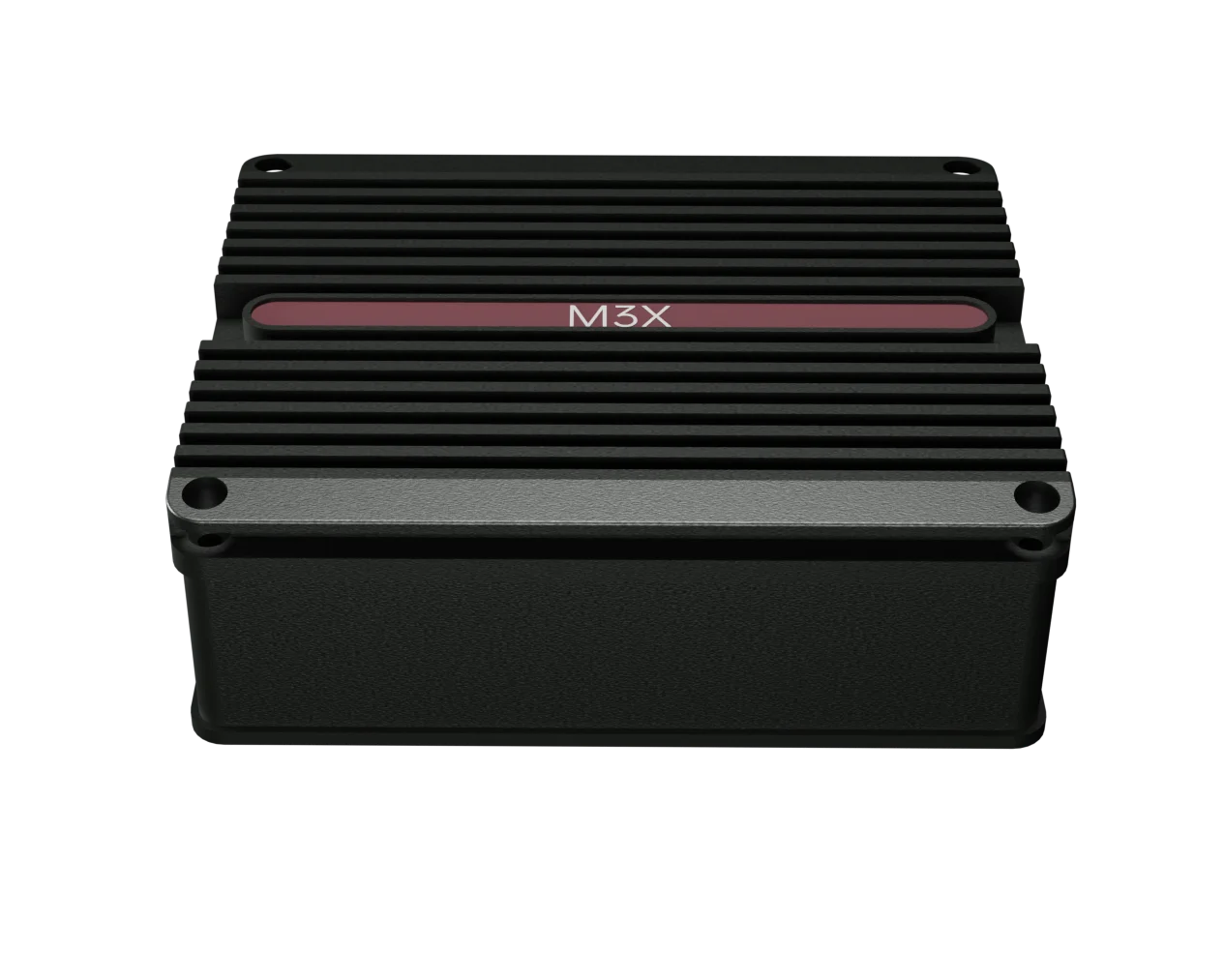
The terminal measures 110 × 90 × 45 mm and weighs approximately 350 g. It provides Gigabit Ethernet, USB 3.2 Type-C, DJI PSDK and a UART debug port, with XT30 wide-range power input.
Explore the hardware specification and supporting documents.
Request the documents you need and our team will send them to you.
Full hardware specifications, multi-network parameters, interfaces and electrical data.
RequestSupported unmanned platforms, interfaces and integration notes.
RequestInterface definitions, algorithm deployment and project integration notes.
RequestCombine satellite, cellular and mesh links where ground networks are limited or onboard recognition is required.
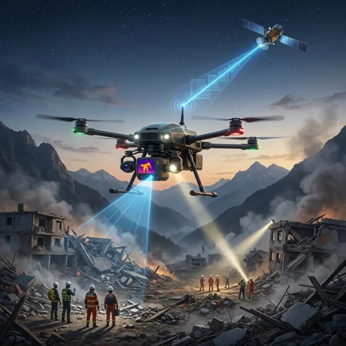
With the terminal installed, drones can use AI algorithms to identify people, vehicles and damaged buildings, and generate disaster heat maps. Mesh networking can provide temporary communication relays between rescue teams, drones and command centers. If ground networks fail, satellite links can transmit essential location data and situation reports.
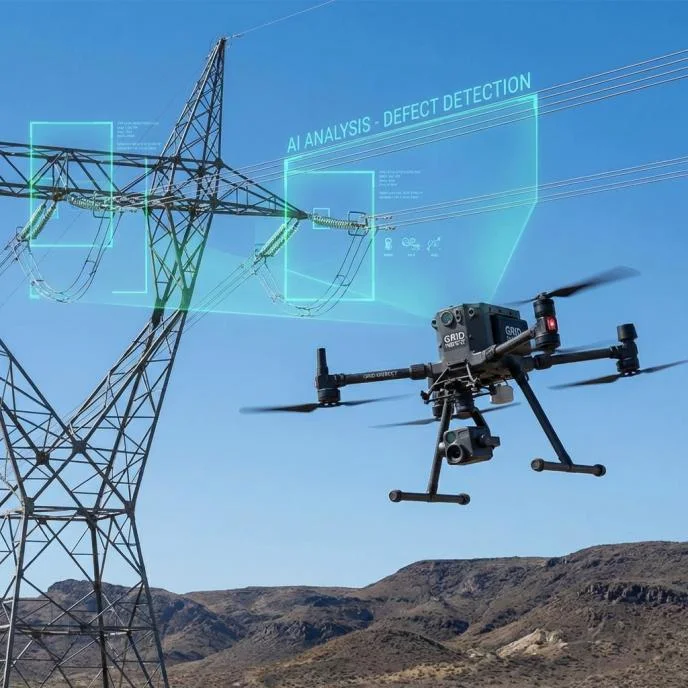
Combined with high-definition cameras and edge algorithms, the terminal can support detection of defects such as damaged insulators and leaning towers, and send alerts and site photos over 5G or satellite links. RTK differential positioning can support flights along planned routes.
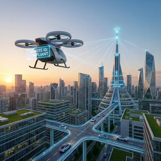
Supports remote drone flight control and video transmission. With optional Remote ID and data reporting, the terminal can broadcast identity and position information and connect to the project’s regulatory platform.
Explore more 5G unmanned system products from WThink.
5F, Building 12, Zone C, Tianfu Software Park,
No. 219 Tianhua 2nd Rd, High-tech Zone,
Chengdu, Sichuan, China
