

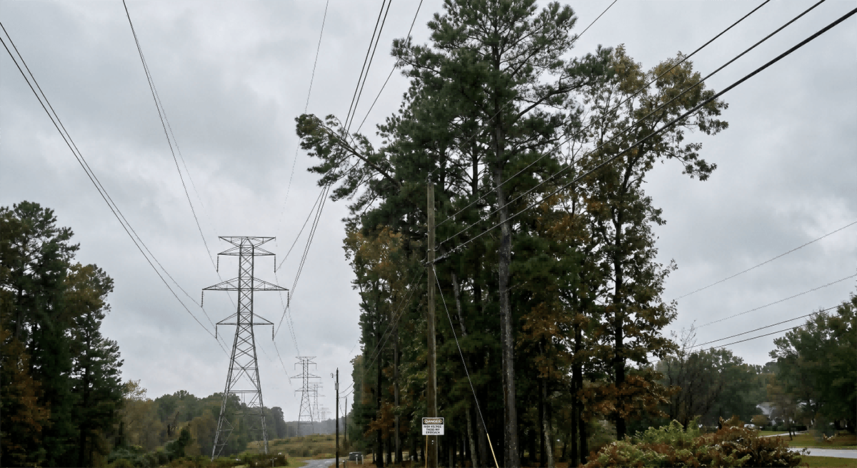
Project Background and the Threat of Vegetation Encroachment
High-voltage transmission corridors often span vast, densely forested regions, traversing mountain ranges, national parks, and wild woodlands. Managing the clearance space around these high-voltage conductors (such as 220kV or 500kV lines) is critical to maintaining a reliable power supply. In a major regional power grid, vegetation encroachment represented the primary threat to operational safety. As trees grow taller or branches lean close to energized conductors, they can cause high-voltage flashovers, resulting in massive short-circuits, immediate regional grid outages, and in dry seasons, devastating forest fires. Traditional corridor inspections relied on manual ground foot-patrols using handheld rangefinders or periodic manned helicopter flights, which were slow, subjective, and unable to continuously provide high-accuracy clearance measurements over thousands of kilometers of dense woodland.
Multi-Threat Environmental Hazards along the Corridor
In addition to tree growth, transmission corridors are vulnerable to various other environmental hazards that can trigger sudden outages. Foreign objects such as plastic mulch, kites, or windblown agricultural sheets frequently get entangled in conductors, presenting immediate short-circuit risks. Unauthorized heavy machinery operating within the transmission right-of-way can accidentally strike tower structures, while nearby wildfires can damage conductors through heat and ionization. Managing these diverse, unpredictable environmental risks across remote expanses was a major challenge for the utility company, which lacked a unified, real-time warning system to identify and prioritize these critical corridor threats before they disrupted grid operations.
Implementing WThink’s Corridor Monitoring Solution
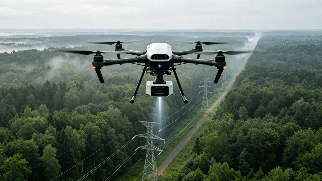
To mitigate these environmental hazards, the utility company deployed WThink’s Corridor Environment Monitoring system across its forested transmission sectors. This advanced solution integrates long-range autonomous drone flights, airborne LiDAR (Light Detection and Ranging) sensors, high-definition optical cameras, and centralized AI-powered environmental analytics. By utilizing high-density 3D spatial mapping and deep-learning vision models, the system continuously analyzes the physical clearing around the conductors, identifying structural and environmental threats with millimeter-level precision.
Airborne LiDAR and Precise 3D Clearance Modeling
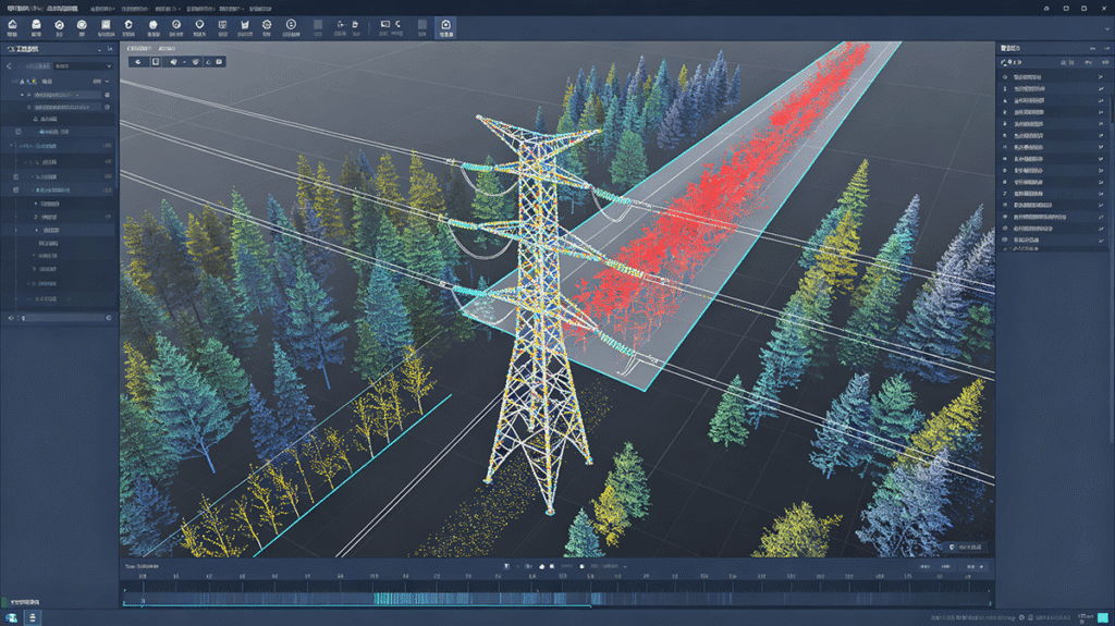
The corridor monitoring workflow begins with autonomous drone flights carrying lightweight, high-precision LiDAR sensors. As the drone sweeps along the transmission corridor, the LiDAR scanner emits millions of laser pulses per second, capturing highly accurate 3D spatial coordinate points of the towers, conductors, ground terrain, and adjacent tree canopies. WThink’s processing platform automatically takes this raw point cloud data and constructs a highly detailed 3D digital model of the corridor. The platform’s integrated algorithms calculate the exact distance between every individual tree branch and the power conductors, taking into account wire sag under high electrical loads and thermal expansion, and instantly highlighting any vegetation that violates safety clearance boundaries.
Multi-Threat Optical Identification and Preventive Actions
Beyond LiDAR-based clearance measurements, the system utilizes high-definition optical cameras and specialized computer vision models to identify other active environmental threats. As the drone scans the lines, the AI algorithms automatically detect foreign objects entangled on the conductors, identify unauthorized construction machinery or soil excavations near tower bases, and scan adjacent woodlands for smoke or heat signatures indicating early-stage wildfires. All identified hazards are mapped to their precise GPS coordinates and categorized by urgency. This structured diagnostic data is transmitted to the central control room, allowing utility coordinators to dispatch targeted tree-trimming or foreign-object-removal crews before a flashover or fire can occur, significantly improving grid safety and protecting nearby ecosystems.