Skip to content Skip to footer

WD6000HUB Satellite Communication Version

Satellite, 5G and mesh — with configurable edge AI.

A multi-network communication and edge computing terminal for drones, robots and edge AI. It combines low Earth orbit satellite communication, 5G / 4G connectivity and mesh networking, so the device can compute and return data where ground coverage is limited, with 70 TOPS / 100 TOPS / 157 TOPS (INT8) AI computing options.

70 / 100 / 157 TOPSAI computing power
350 gTerminal weight
Satellite + 5G + meshConnectivity
12–28 VDCPower input
110 × 90 × 45 mmDimensions

From multiple networks
to onboard recognition and return.

Combine satellite, cellular and mesh links in one terminal, and run AI algorithms on the device.

Unmanned platforms and payloads

Drones, robots and mission payloads collect images, position and operational data.

WD6000 multi-network terminal

Integrates satellite, 5G / 4G and mesh networking, with onboard edge AI.

Satellite / 5G / mesh

Choose the return or relay path that fits the site, for commands, position, alerts and permitted data traffic.

Remote decisions

Recognition results, alerts and essential information are returned to command or regulatory systems.

Every interface, clearly labelled.

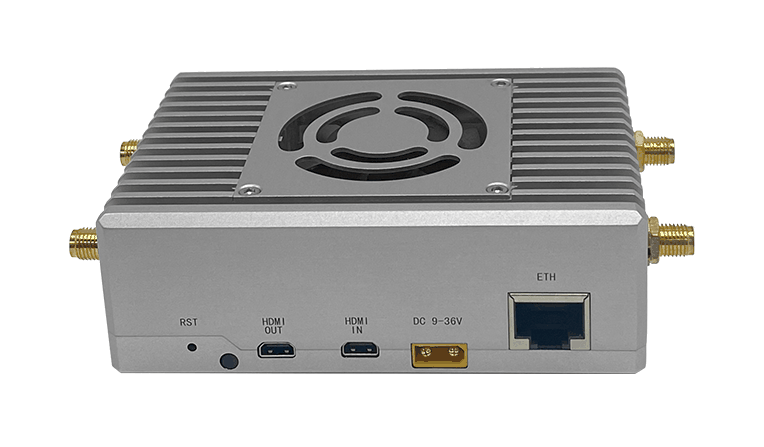
See the main front-panel interfaces on the WD6000. Select a numbered callout to learn what each one does.

    One enclosure,
    multiple networks.

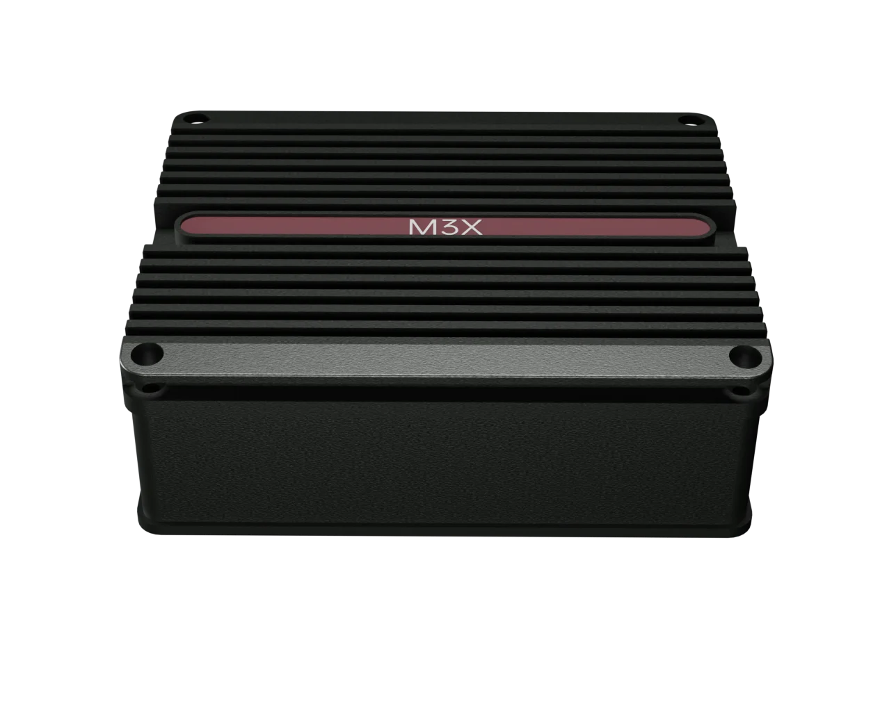
    The terminal measures 110 × 90 × 45 mm and weighs approximately 350 g. It provides Gigabit Ethernet, USB 3.2 Type-C, DJI PSDK and a UART debug port, with XT30 wide-range power input.

    350 gTerminal weight
    110 × 90 × 45mm
    Dimensions
    WD6000 product view

    Technical detail, without the guesswork.

    Explore the hardware specification and supporting documents.

    Computing platform

    AI computing
    70 TOPS / 100 TOPS / 157 TOPS (INT8), configuration dependent
    CPU
    8-core ARM Cortex-A78AE v8.2, 64-bit
    GPU
    NVIDIA Ampere architecture; 1,024 CUDA cores and 32 Tensor Cores
    Memory
    16 GB / 32 GB, 128-bit LPDDR5
    Storage
    NVMe M.2 SSD expansion supported
    Algorithm deployment
    Configurable with dozens of preset AI algorithms; supports third-party algorithm deployment
    China-made computing module
    Optional; the processing platform depends on the selected module

    Multiple networks

    Satellite communication
    Low Earth orbit, L-band narrowband; transmit 1668–1675 MHz, receive 1518–1525 MHz
    Satellite data rate
    Up to 1.4 Mbps; asymmetric uplink / downlink
    5G
    SA (standalone) / NSA (non-standalone)
    5G NSA bands
    N41 / N77 / N78 / N79
    5G SA bands
    N1 / N28 / N41 / N77 / N78 / N79
    4G bands
    LTE-FDD B1 / B3 / B5 / B8; LTE-TDD B34 / B38 / B39 / B40 / B41
    SIM
    Nano-SIM; 1.8 V / 3.0 V
    Mesh
    Decentralized ad hoc network with multi-hop transmission; 1428–1448 MHz; up to 32 nodes; >10 km ground-to-air in open conditions

    Interfaces & electrical

    Ethernet
    1 × Gigabit Ethernet (RJ45)
    USB
    1 × USB 3.2 Type-C
    PSDK
    1 × PSDK
    Debug interface
    1 × UART (debug)
    Antenna connectors
    SMA × 4 (5G / 4G), SMA × 1 (satellite), SMA × 1 (mesh), SMA × 1 (GNSS)
    Power input
    12–28 VDC wide input; XT30 connector supported
    Typical power draw
    15–40 W, depending on computing load
    Operating temp.
    -20 to +60 °C
    Dimensions
    110 × 90 × 45 mm
    Weight
    Approx. 350 g

    Positioning & optional features

    GNSS
    GPS / BeiDou dual-mode positioning
    Differential positioning
    RTK / NTRIP supported; centimeter-level field positioning
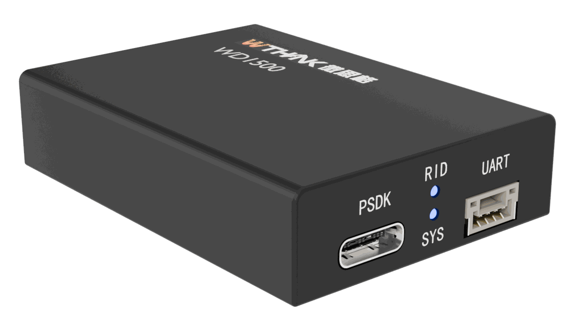
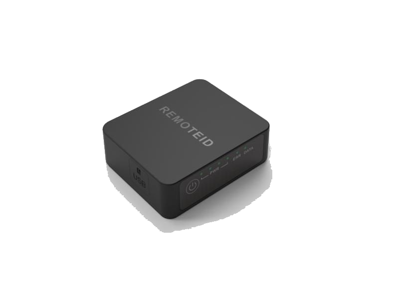
    Remote ID
    Optional; broadcasts drone identity and position
    Data reporting
    Optional; online flight data reporting with “four-code integration”
    Voice and SMS
    2.4 / 4.8 kbps voice coding; sends and receives long and short SMS messages

    For emergency response, inspection and low-altitude operations.

    Combine satellite, cellular and mesh links where ground networks are limited or onboard recognition is required.

    Emergency response scenario illustration
    Emergency response

    Communications and recognition without a ground network

    With the terminal installed, drones can use AI algorithms to identify people, vehicles and damaged buildings, and generate disaster heat maps. Mesh networking can provide temporary communication relays between rescue teams, drones and command centers. If ground networks fail, satellite links can transmit essential location data and situation reports.
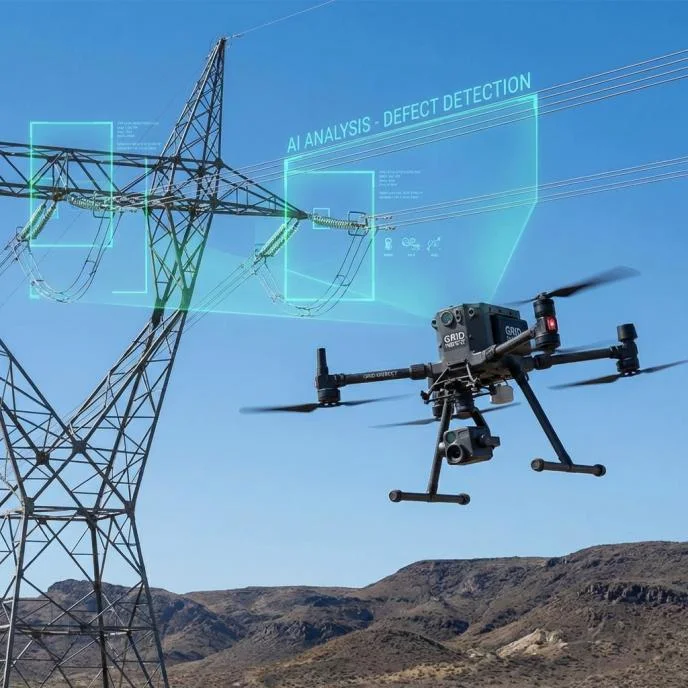
    Power inspection scenario illustration
    Power and infrastructure inspection

    Defect detection and alert return

    Combined with high-definition cameras and edge algorithms, the terminal can support detection of defects such as damaged insulators and leaning towers, and send alerts and site photos over 5G or satellite links. RTK differential positioning can support flights along planned routes.

    Urban low-altitude operations illustration
    Urban logistics and low-altitude operations

    Remote flight and identity reporting

    Supports remote drone flight control and video transmission. With optional Remote ID and data reporting, the terminal can broadcast identity and position information and connect to the project’s regulatory platform.

    Need specifications,
    quotation or
    technical support?

    Contact Details

    5F, Building 12, Zone C, Tianfu Software Park,
    No. 219 Tianhua 2nd Rd, High-tech Zone,
    Chengdu, Sichuan, China

    sales@wthinktech.com

      Go to Top